NGORONGORO CONSERVATION AREA
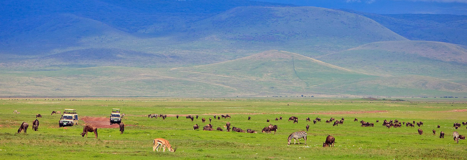
Ngorongoro is thought to have formed about 2.5 million years ago from a large active volcano whose cone collapsed inward after a major volcanic eruption, leaving the present vast, unbroken caldera as its chief remnant. it is one of the greatest Eastern rift valleys in the northern Tanzania. It lies 75 miles (120 km) west of the town of Arusha. The caldera measures between 10 and 12 miles (16 and 19 km) across and has an area of 102 square miles (264 square km). Its heavily forested rim rises 2,000 feet (610 meters) above the caldera’s floor to an elevation of 7,500 feet (2,286 meters). The caldera’s floor is predominantly open grassland. It is home to a diverse array of animals including elephants, black rhinoceroses, leopards, buffalo, zebras, warthogs, gnu (wildebeests), Grant’s and Thomson’s gazelles, and the densest population of lions in the world. The local Masai people also graze their livestock in the crater. Lake Magadi, a shallow soda lake ringed by extinct volcanoes, is renowned as a habitat for great flocks of pink flamingos.
The rainy season April and May, is often considered the best time to visit the Ngorongoro Crater as there are far fewer visitors and the crater is wonderfully lush and green compared to the dusty dry-season landscape.


